Drone Services
Commercial drone operations for aerial surveying, imagery, and purposeful field data collection, with experience supporting law enforcement SUAS operations.

I’m Alex Manes, a drone operator, GIS analyst, and graphic designer. I bring field data, spatial thinking, and visual craft together to make complex information easier to understand.

From a flight plan to a finished visual, I work across the full path from collecting information to making it useful.
Commercial drone operations for aerial surveying, imagery, and purposeful field data collection, with experience supporting law enforcement SUAS operations.
Portfolio examples include California farmland acreage change from 2016 to 2025, buffer analysis, crime comparisons, and Mars terrain modeling.
Logo and visual identity work for civic organizations, companies, and digital communities, designed to make each message clear.
A snapshot of the work I do across capture, analysis, and design. Each discipline brings a different perspective to the same goal: clarity.
Drone-based surveying, photography, videography, and data collection.
Spatial analysis, crime comparisons, agricultural trends, and terrain modeling.
Selected identity, emblem, and logo work from the design portfolio.
Field imagery from mapping and oblique flights using the DJI Phantom 4 RTK and DJI Mavic 3 Enterprise.
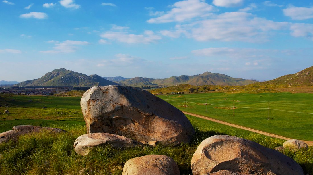
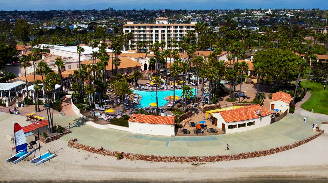
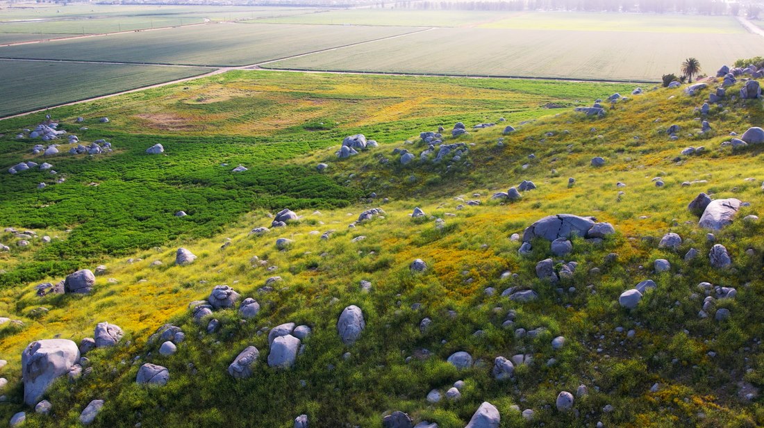
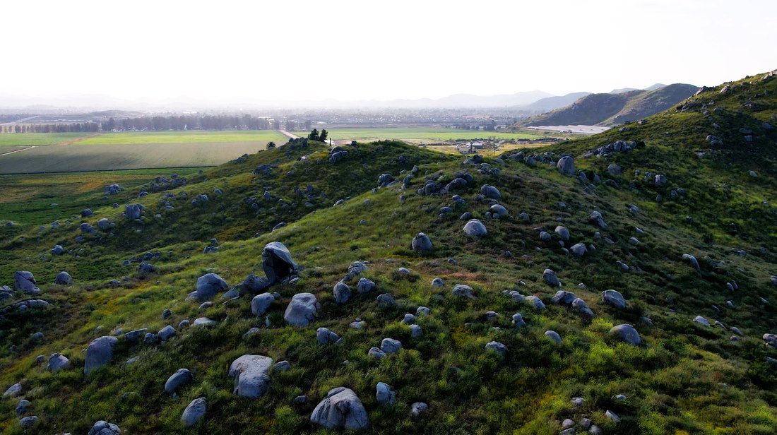
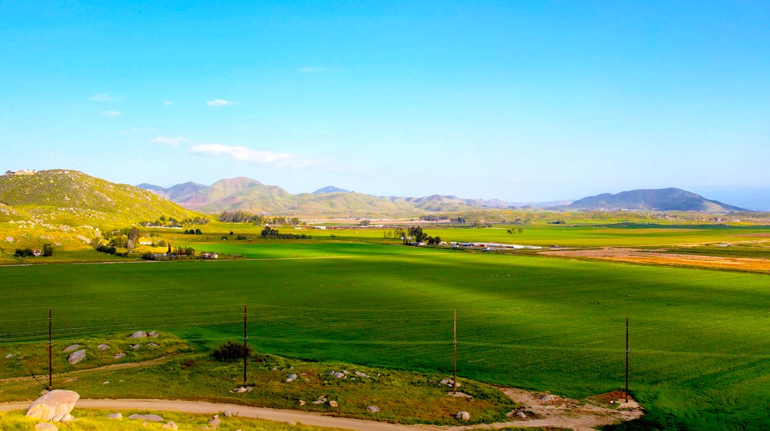
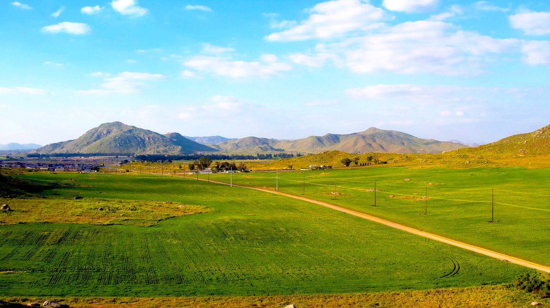
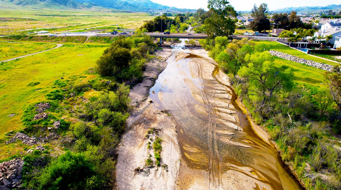
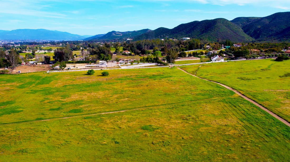
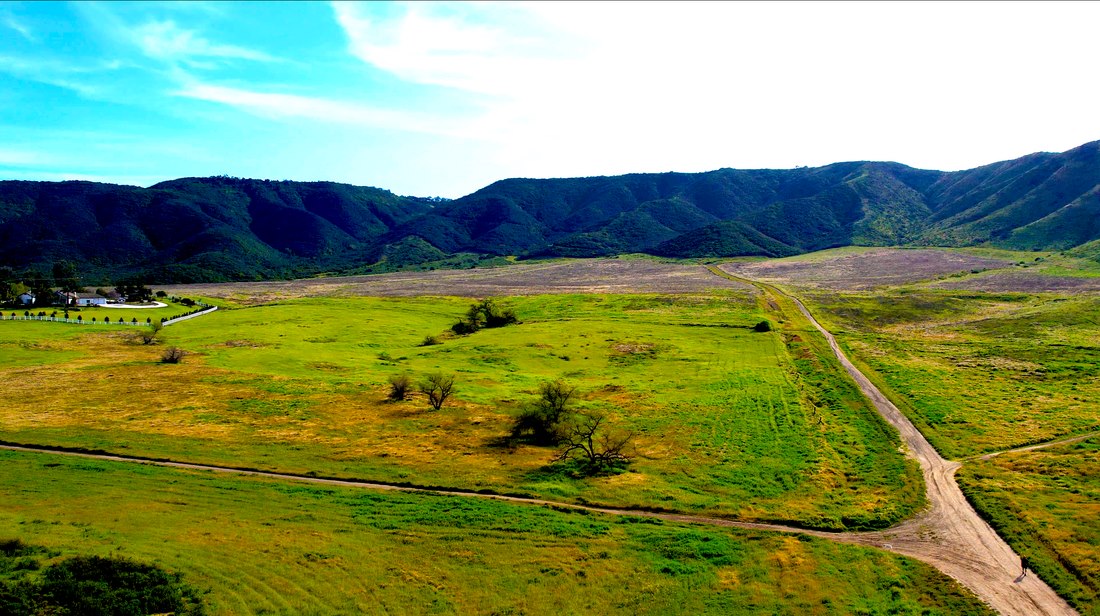
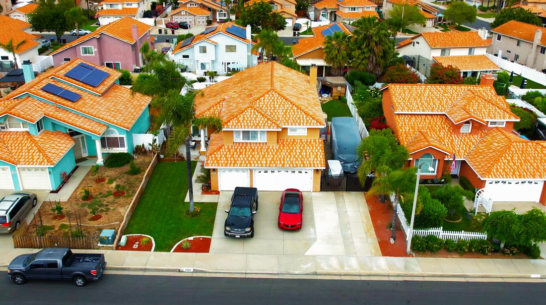
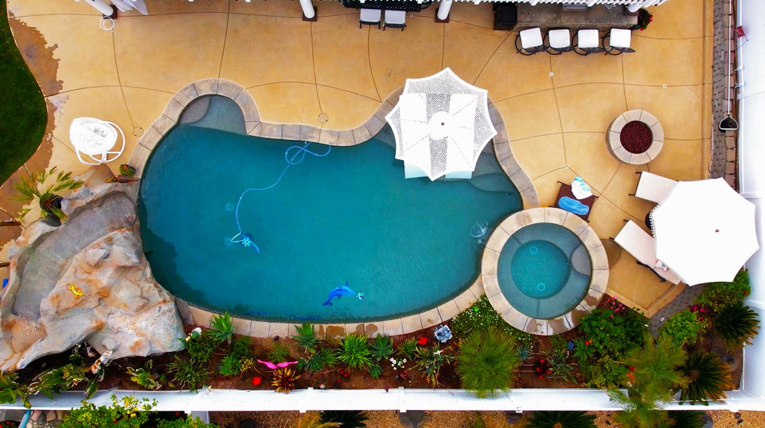
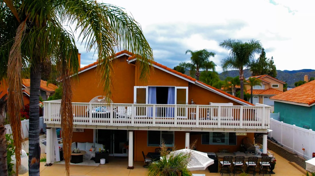
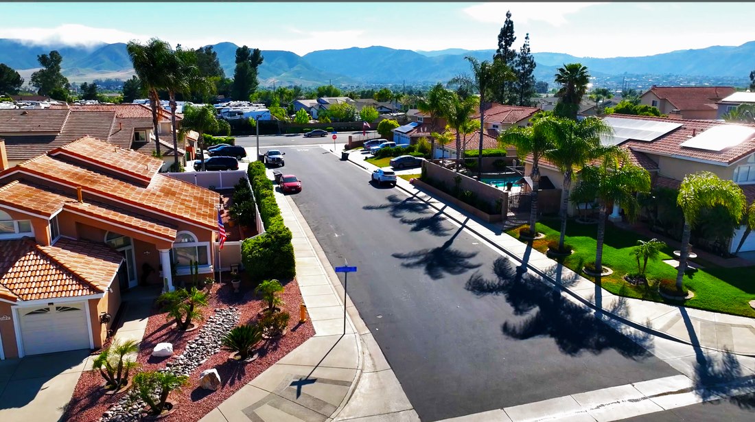
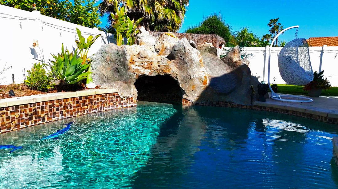
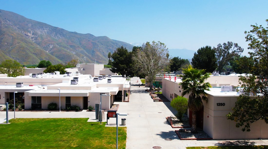
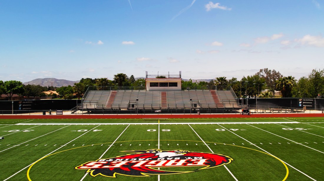
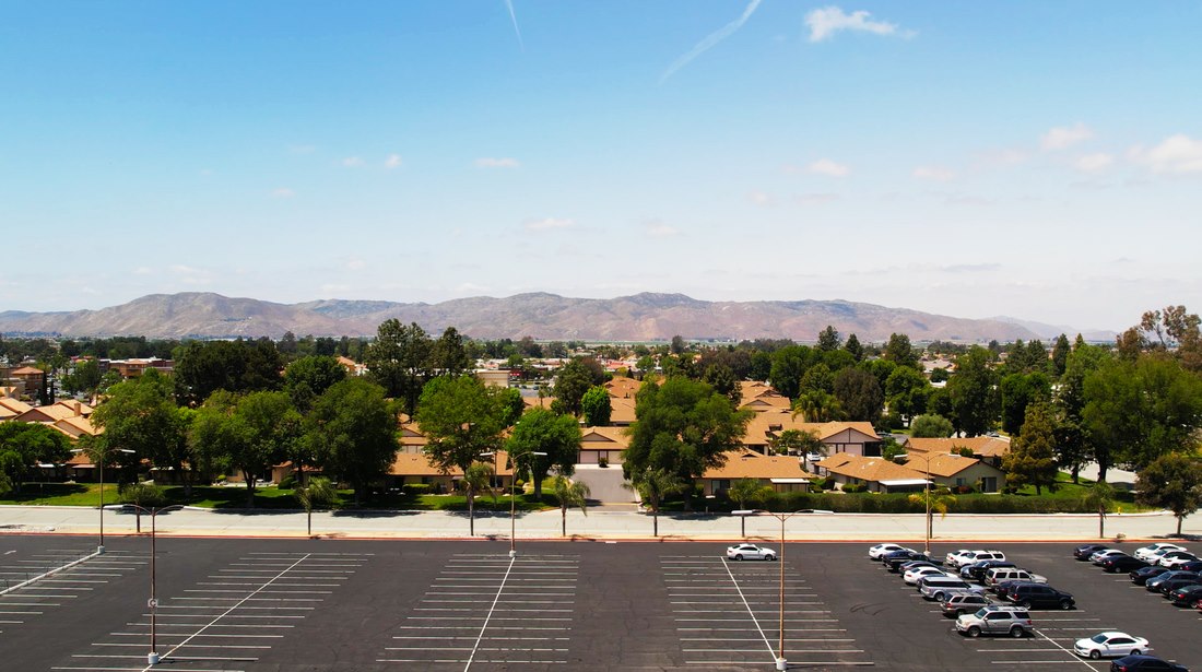
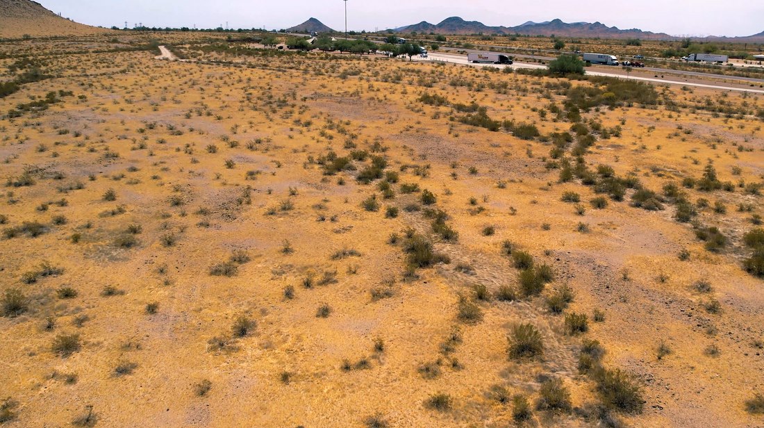
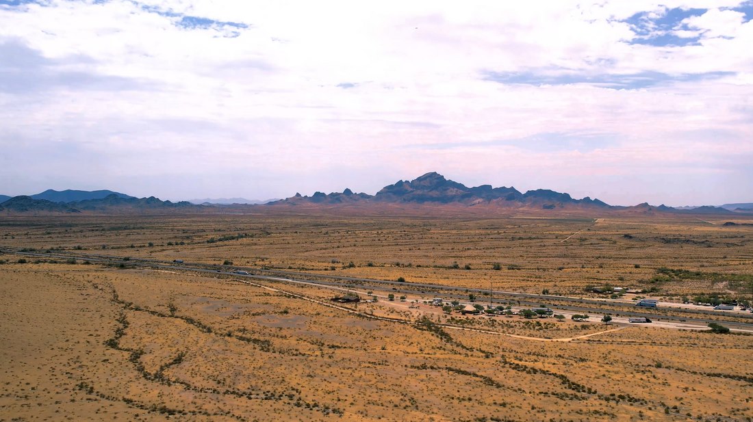
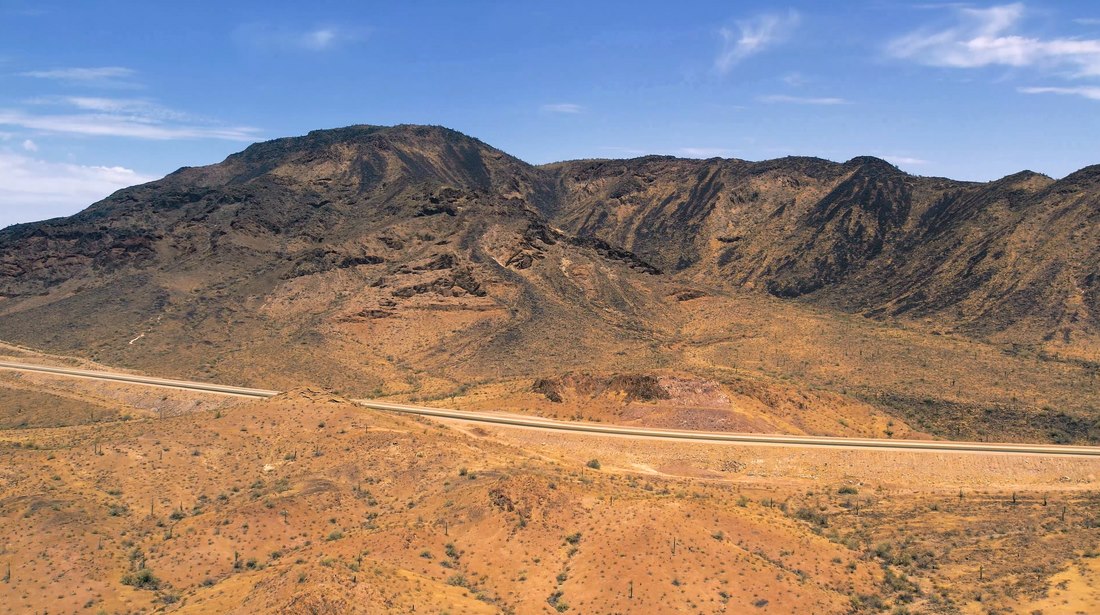
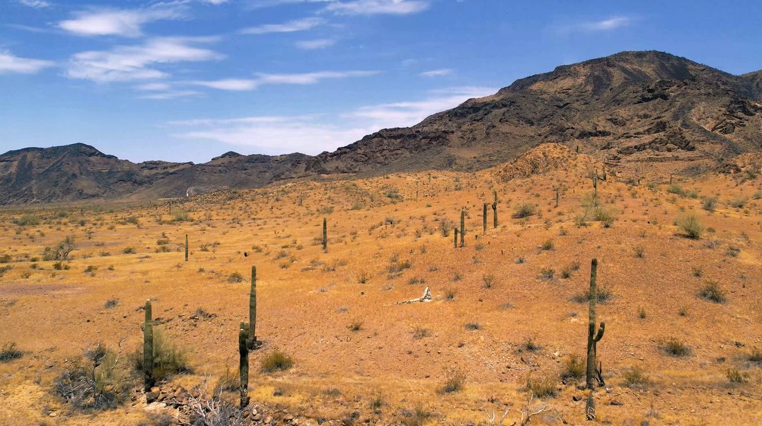
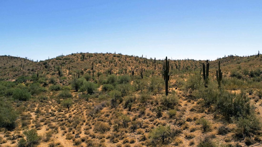
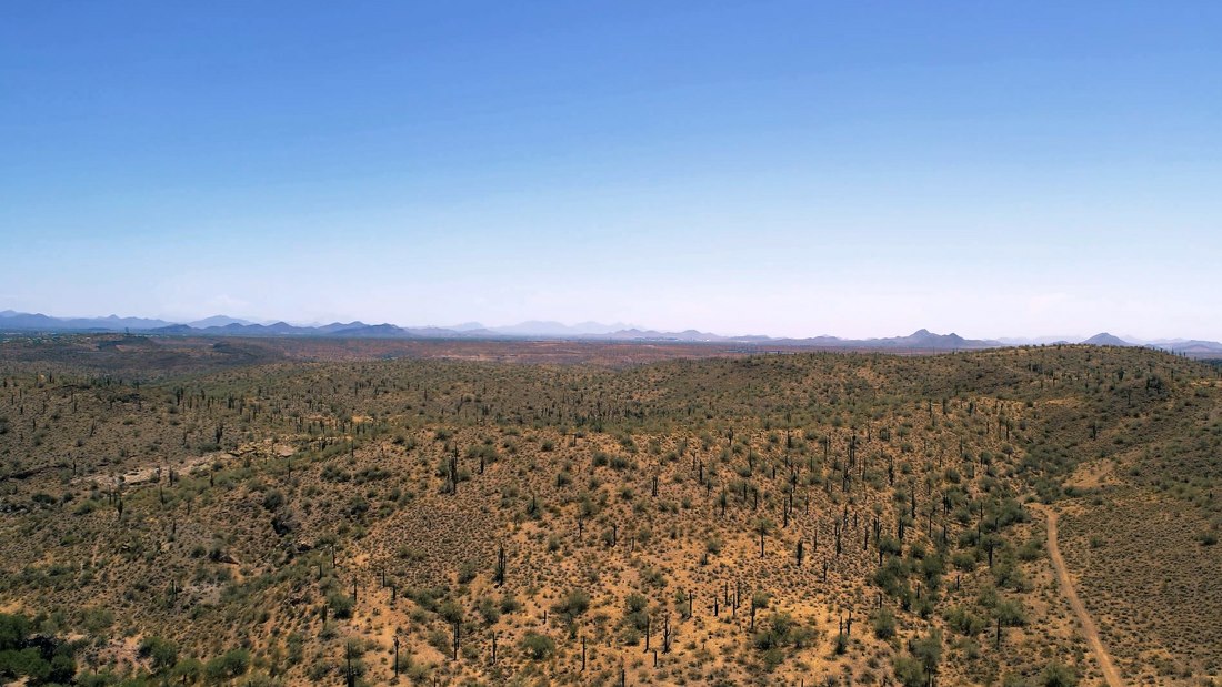
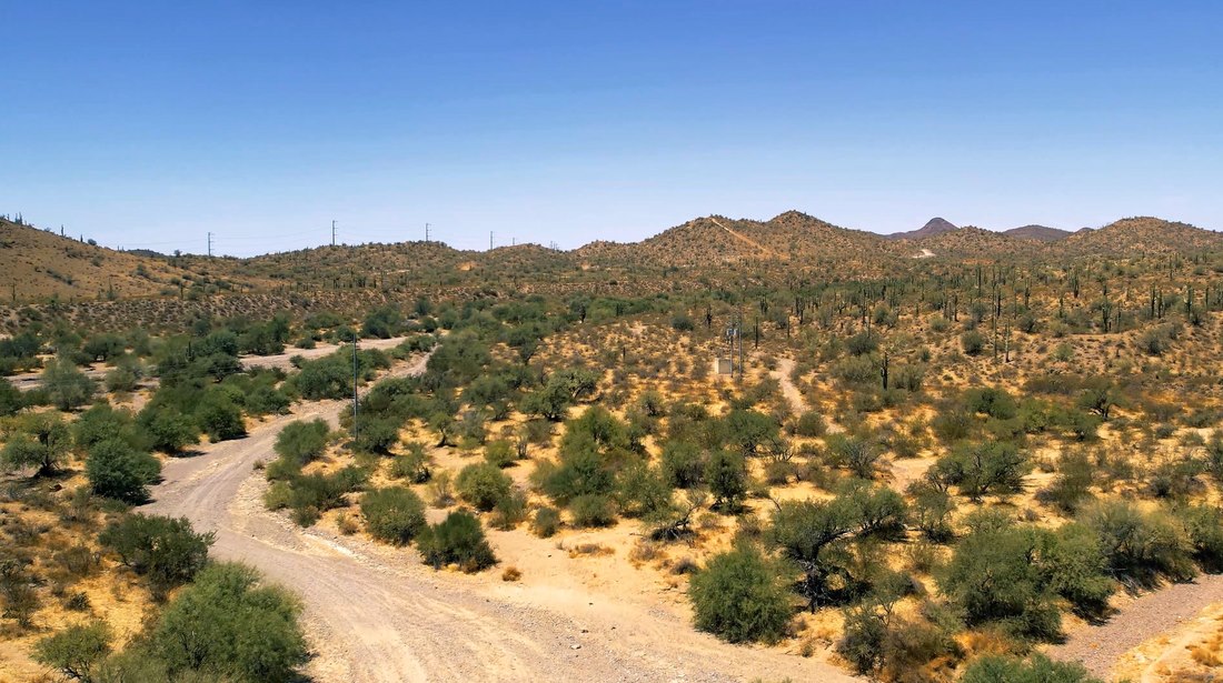
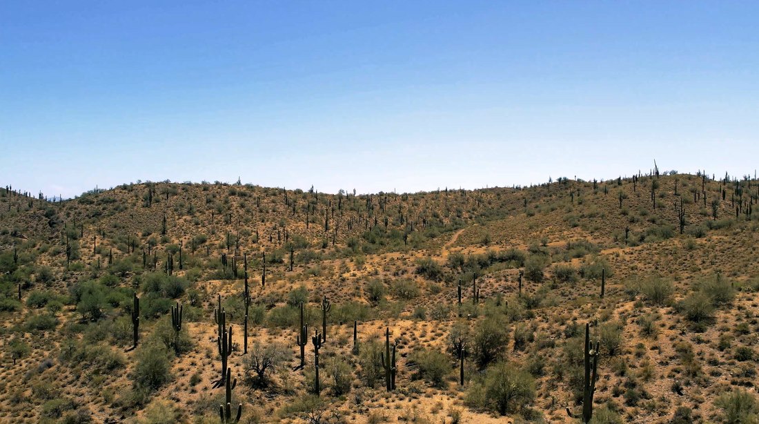
Explore the published orthomosaic and elevation model experiences from residential property and horse ranch mapping projects.
ArcGIS Experience Builder project presenting mapped aerial imagery and derived elevation surfaces.
Interactive UAS mapping products for a horse ranch, with a direct link if the embedded view is unavailable.
Maps, statistical comparisons, and terrain products from the GIS portfolio.
The project compares California farmland classifications over time. The reported combined acreage increased by 230,339 acres, while the mix shifted: local-importance farmland gained acreage as prime and state-importance farmland declined.
| Classification | 2016 acres | 2025 acres | Change |
|---|---|---|---|
| Prime farmland | 5,031,477 | 4,958,493 | -72,984 |
| Semi-agricultural | 49,845 | 52,300 | +2,455 |
| State importance | 2,544,478 | 2,496,148 | -48,330 |
| Local importance | 2,852,836 | 3,185,352 | +332,516 |
| Unique farmland | Not stated | Not stated | +16,682 |
The category totals show why acreage alone is not the whole story. A net gain does not by itself establish improved soil health, sustainability, or a cause for the classification changes.
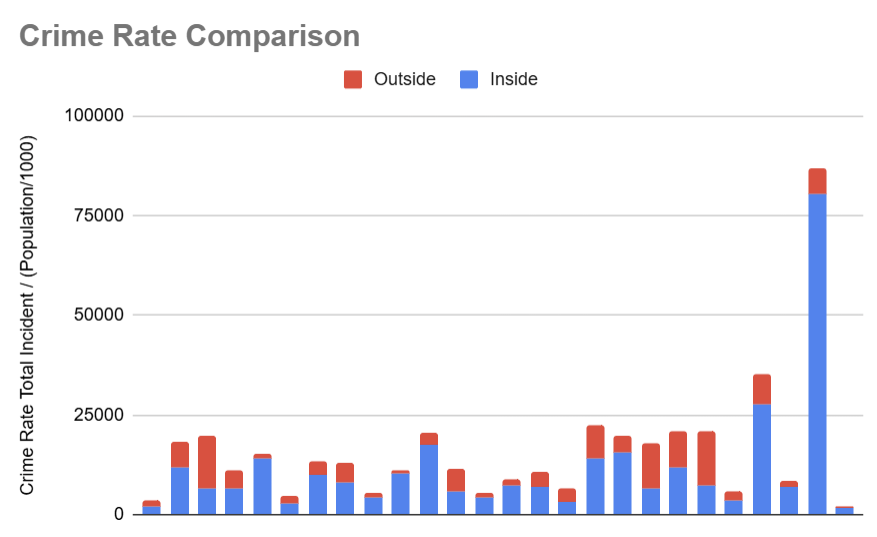
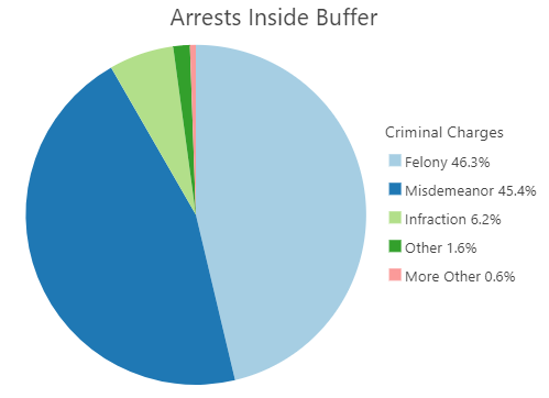
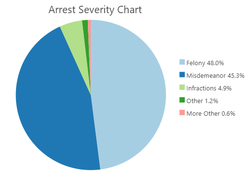
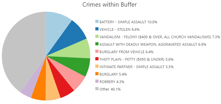
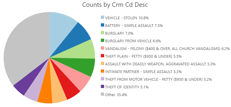
This ArcGIS Pro study asks whether neighborhood crime rates differ inside one-mile police-station buffers compared with areas farther away. Crime counts were normalized by population, then spatially joined to buffer areas for comparison.
Research question: Are crime rates lower in Los Angeles neighborhoods within one mile of a police station?
Null: Mean crime rates are similar inside and outside the one-mile buffers. Alternative: Rates are lower inside the buffers.
The project reports t = -1.677 and p = 0.0502. For the stated one-tailed test at alpha = 0.10, the reported p-value is below the threshold and the null hypothesis is rejected.
This is evidence of a difference under the selected test, not proof that proximity causes lower crime. The result should be interpreted alongside the study design, time period, data quality, population normalization, and other neighborhood factors.
Map Report · Police-Station Buffer Analysis
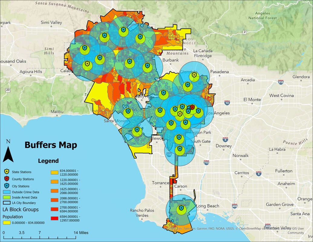
Embedded Project Report
A bivariate map compares median age by sex with household income across Florida census tracts. The accompanying hotspot interpretation notes coastal clusters in median age and higher-income concentrations around the Jacksonville to Orlando corridor. These are mapped spatial patterns, not evidence that location alone causes income or age differences.
Embedded Bivariate Map Report
A terrain-analysis project presents a Mars digital elevation model alongside derived slope and terrain-ruggedness views. The products demonstrate raster interpretation and complementary terrain measures at the resolution stated on the source DEM.
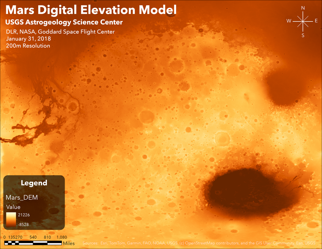
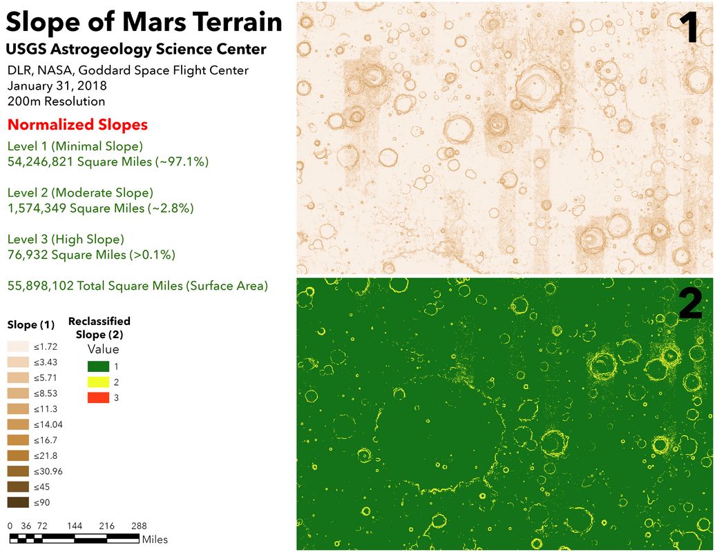
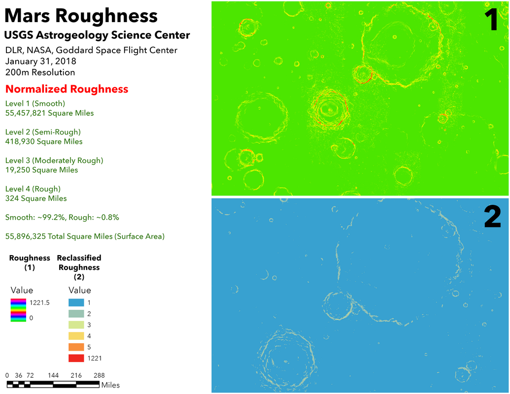
Embedded Terrain Analysis Poster
The portfolio includes a supervised classification project for Zion National Park. The published project identifies the classification topic but does not state training data, class definitions, or accuracy statistics, so those measures are not inferred here.
A geospatial communication piece focused on wildfire impacts at the Santa Rosa Plateau. It brings environmental mapping into a concise visual format for sharing project findings.
Embedded Environmental Project Flyer
Live ArcGIS content from the original portfolio. If an embedded item is unavailable, use its direct ArcGIS link.
ArcGIS Dashboard associated with the California farmland acreage analysis.
Full ArcGIS StoryMap accompanying the agriculture and farmland analysis.
Selected emblems, logos, seals, and visual identity pieces from the design gallery.






























Every project is different. I focus on understanding the need first, then matching the right tools and point of view to the task.
Clarify the question, the audience, and what a useful result should make possible.
Plan the fieldwork and data collection around the intended use, whether from the air, existing datasets, or both.
Bring spatial analysis and careful review to the data, keeping the context and limitations in view.
Shape findings into maps, imagery, or visual design that communicates what matters.
A mix of field-ready aircraft and established geospatial and creative software.
Have a mapping, drone, or design project in mind? Get in touch and tell me what you’re working on.